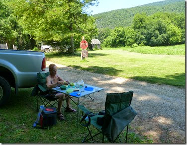
Our Rig

Our Rig
Camping

Tuesday, July 29, 2014

Pedestal Rocks AR

Map picture

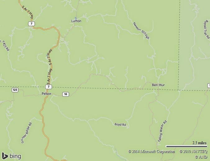
50 miles South of Jasper AR between Pelsor and Ben Hur the amazing site of Pedestal Rocks is located.

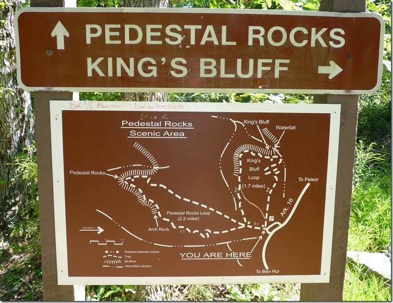
There are two hikes from the same TH ,one to Pedestal Rocks 2.2 Miles RT and the second King’s Bluff 1.9 RT.

P1090806

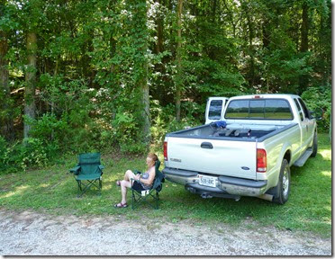
We started hiking the Pedestal Rocks taking only water with us leaving the picnic box in the truck to eat between the hikes.

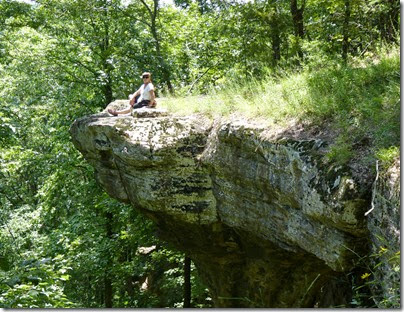
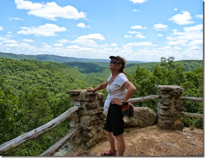
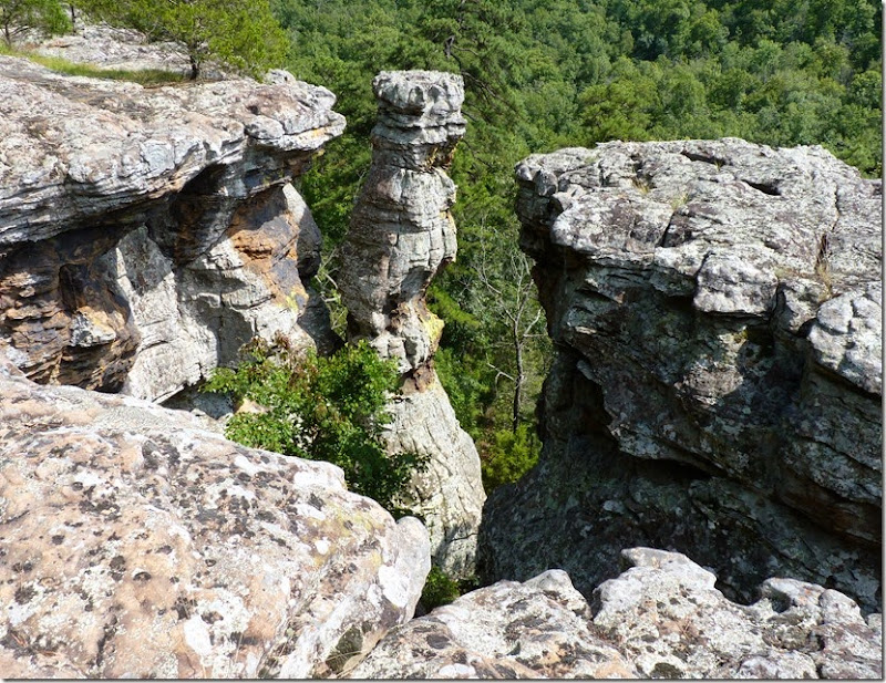
The trail description suggested hiking the trail on top of the bluff , but if we would follow the written instructions we would be walking on the bluff and have limited vision of the Pedestal,caves and arches.

These are the sights from the top trail.

Pedestral Rocks AR  Pedestral Rocks ARPedestral Rocks AR

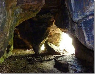
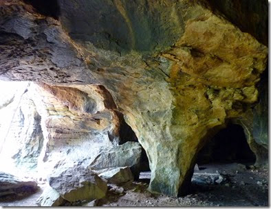
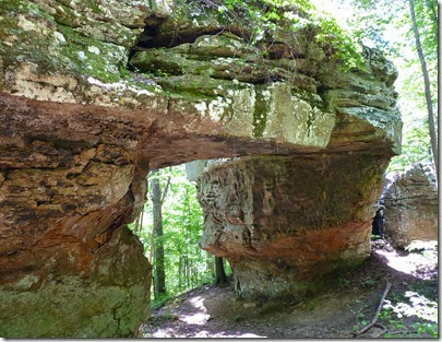
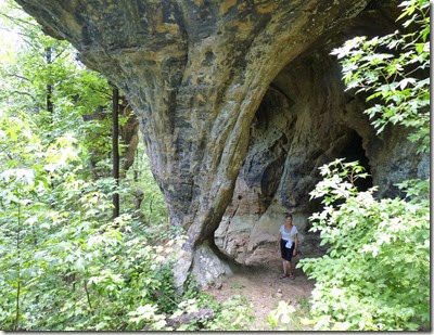
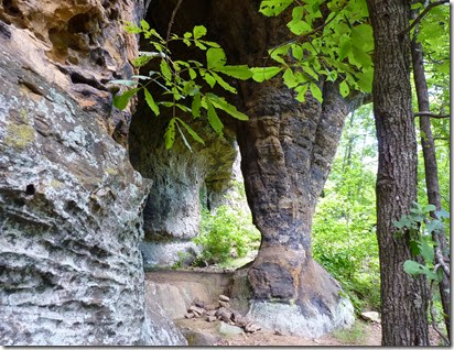
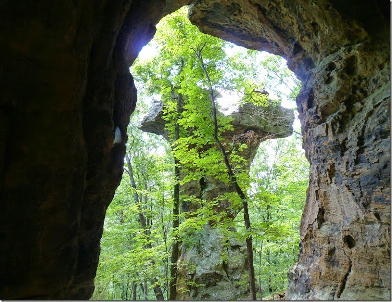
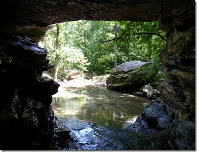
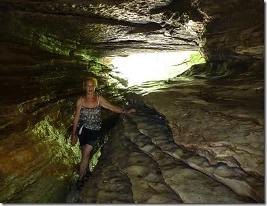
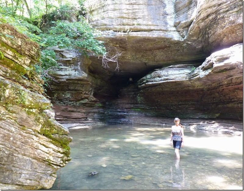
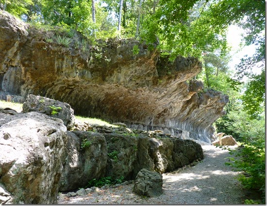
We found few trails leading from the top main one to the bottom of the rocks and found a whole bunch of caves ,arches connected by trails created by earlier curios visitors as  ourselves.

Pedestral Rocks AR  Pedestral Rocks AR

Pedestral Rocks AR  Pedestral Rocks ARPedestral Rocks AR  Pedestral Rocks ARPedestral Rocks AR

Walking the lower trail gave us the real prospective of these amazing high Rocks,at the whole time we did not meet a single soul,it was like entering and imaginative outside world.

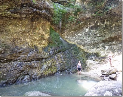
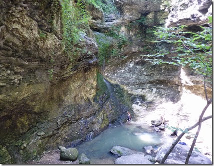
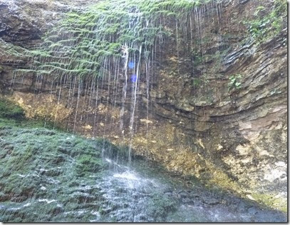
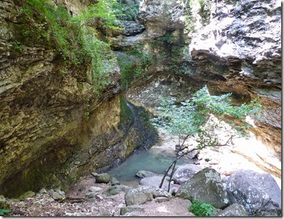
By now we understood that Waterfalls is not going to be the “thing” in Arkansas only because the falls are feed by rain and not running rivers…but these Rocks were a very good substitute.

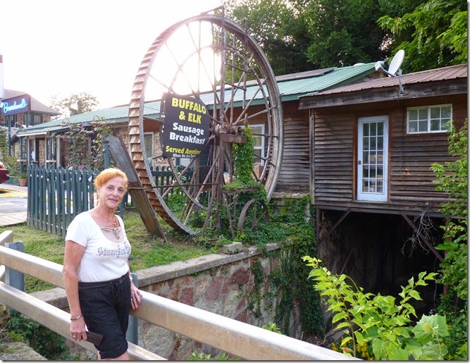
We enjoyed the two hikes so much  that we forgot all about the time and as it started to get late we stopped in a local restaurant in Jasper on the way home to have a great home made dinner,it was a great meal after a great day.
Jasper AR

Monday, July 28, 2014

Glory Hole & Whitaker Point

This summary is not available. Please click here to view the post.
Saturday, July 26, 2014

Jasper AR area

Map picture

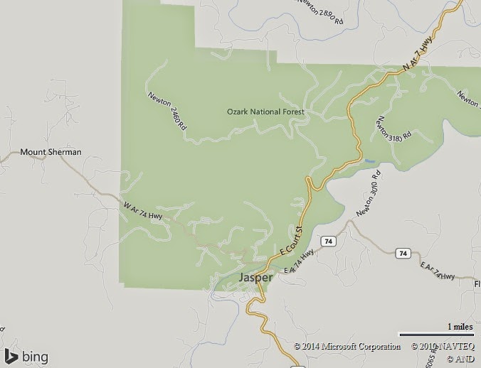
Jasper is a tiny beautiful town next to Ozark National Forest, it is surrounded by rare natural beauty such as rivers,mountains,caves and waterfalls.

Jasper AR

We chose to camp in a C.G on scenic HWY 7 between Harrison & Jasper,it is a simple C.G with shady sites,full hook ups,WiFi,CTV and friendly owners.

We found out that Arkansas waterfalls are some times dry during the summer months and we preferred to hike those with water but could not find this information on the net or from the locals,so our guess was to drive to the Buffalo River Ranger’s office and we hit the jack pot.

The young lady was very knowable and gave us all the information we need-What and Where.

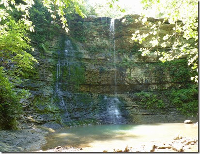
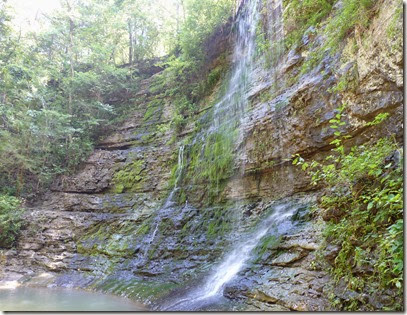
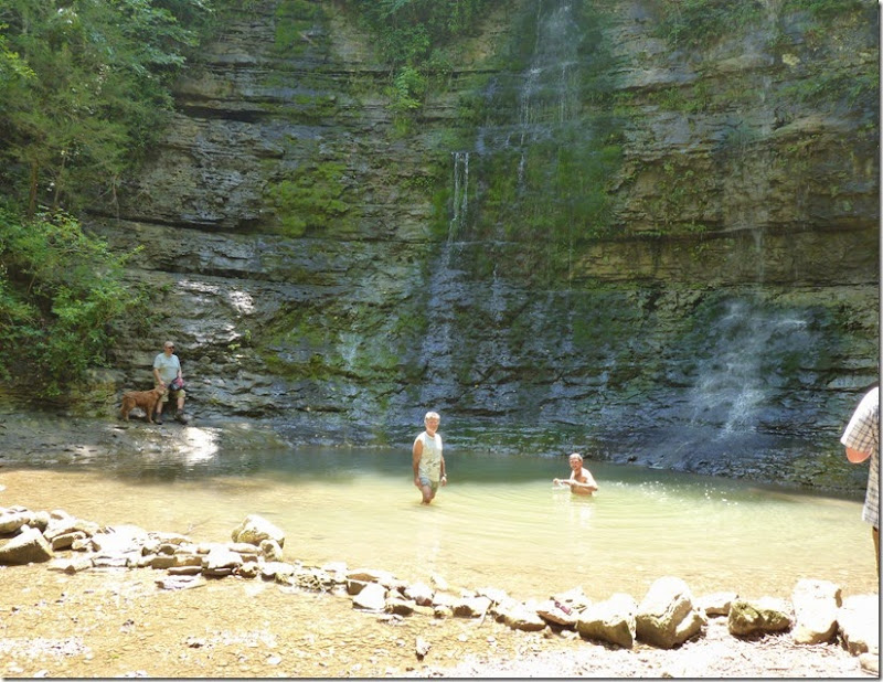
Our first target was Twin/Triple Falls

Twin Falls AR  Twin Falls ARTwin Falls AR 

As you can see it was far away from full swing,but never the less a beautiful refreshing spot.

It is only .25 M hike from the TH,but getting to the TH driving the truck I almost lost all my screws and bolts….the gravel 5M road is very steep and bumpy the fact that the kind young ranger failed to mention.

After this stressful drive and visit to the falls we relaxed in the shade for a short picnic.

Twin Falls AR  Twin Falls AR

Now that our belly was satisfied we drove another half an hour to Lost Valley ,here we hiked 2.5M R/T to see Eldin Falls,Eldin Cave  and a natural bridge.

 Lost Valley AR    Lost Valley ARLost Valley AR

But to see all this we had to hike 1M on a pretty good gravel trail that later changed to rough trail with steep steps,then enter a wet cave with flashlights and crawl on 4 till we got out from the other side  ,but who said that we went for a “picnic”…..it was a lot of fun but not for everyone.


Lost Valley AR    Lost Valley ARLost Valley AR    Lost Valley AR

Here too the waterfall was “dripping” and we we wrote down to come again immediately after the rainy season.

As if this outstanding beautiful nature was not enough for today ,we saw this panorama on the way back to our C.G

Ozarks Mountains AR

Ozark at its best.

Mind you this is only our first day in the area there is more to come and discover.

Friday, July 25, 2014

Blue Spring AR

Map picture

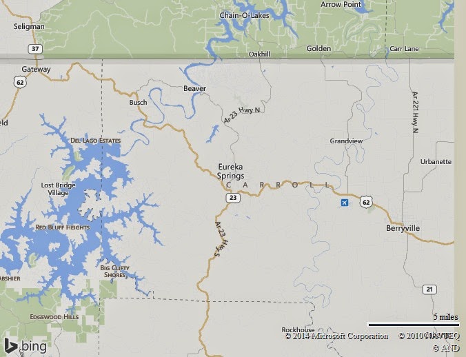
On our last day on Beaver Lake we took a short scenic drive to Blue Spring the one we planned to see yesterday but because of the storm missed it.

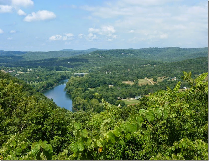
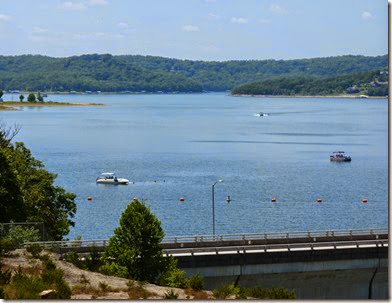
I already mentioned the beauty of the Ozark Mountains but driving the scenic routes makes it difficult for the driver to really see the whole scope of this magnificent panorama,so on the way we did some stops and that is that we saw.

White River near Beaver Lake AR

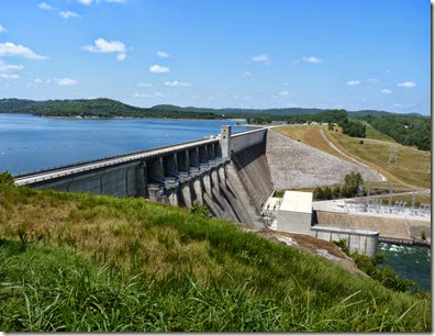
The Beaver lake , the dam and the C.G we stayed seen on the left side of the right picture.

Beaver Lake AR  Beaver Lake AR 

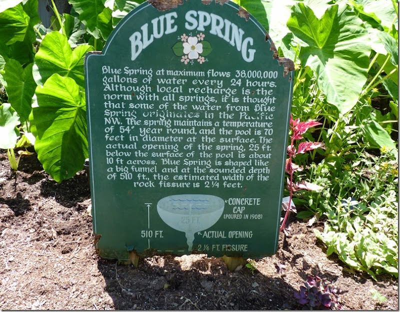
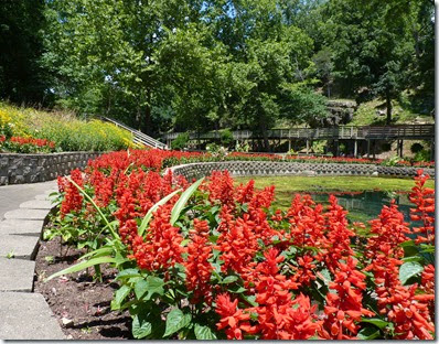
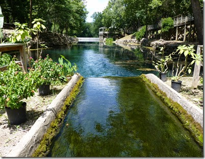
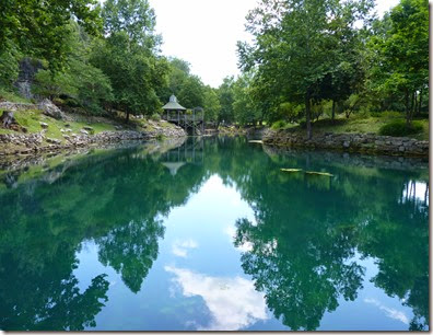
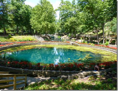
The Blue Spring is currently privately own and charges 9.75$ entry fee,it is the largest spring in North West Arkansas pumping 38 Million gallons of pure water daily into the White River.

Blue Springs AR

Blue Springs AR Blue Springs ARBlue Springs AR Blue Springs AR

In March 1839 Blue Spring was a stop over on the Trail of Tears for the Cherokee people on their march from Echoto , Georgia and some of the the shelters can still be seen.

                    Blue Springs AR

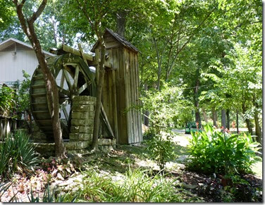
In mid 1840’s Blue Spring mill was built 300 feet downstream and was powered by the water,but in was burned during the civil war and replaced in 1903 by a new mill which was a combination of a saw,grist flour mill.

Blue Springs AR Blue Springs AR

We will be leaving Beaver Lake C.O.E C.G tomorrow to Jasper area which is “loaded” accordingly to the internet with waterfalls,I do hope we will see WATER running in them and not hear again “there was a poor rainy season ,so…”

All the best.